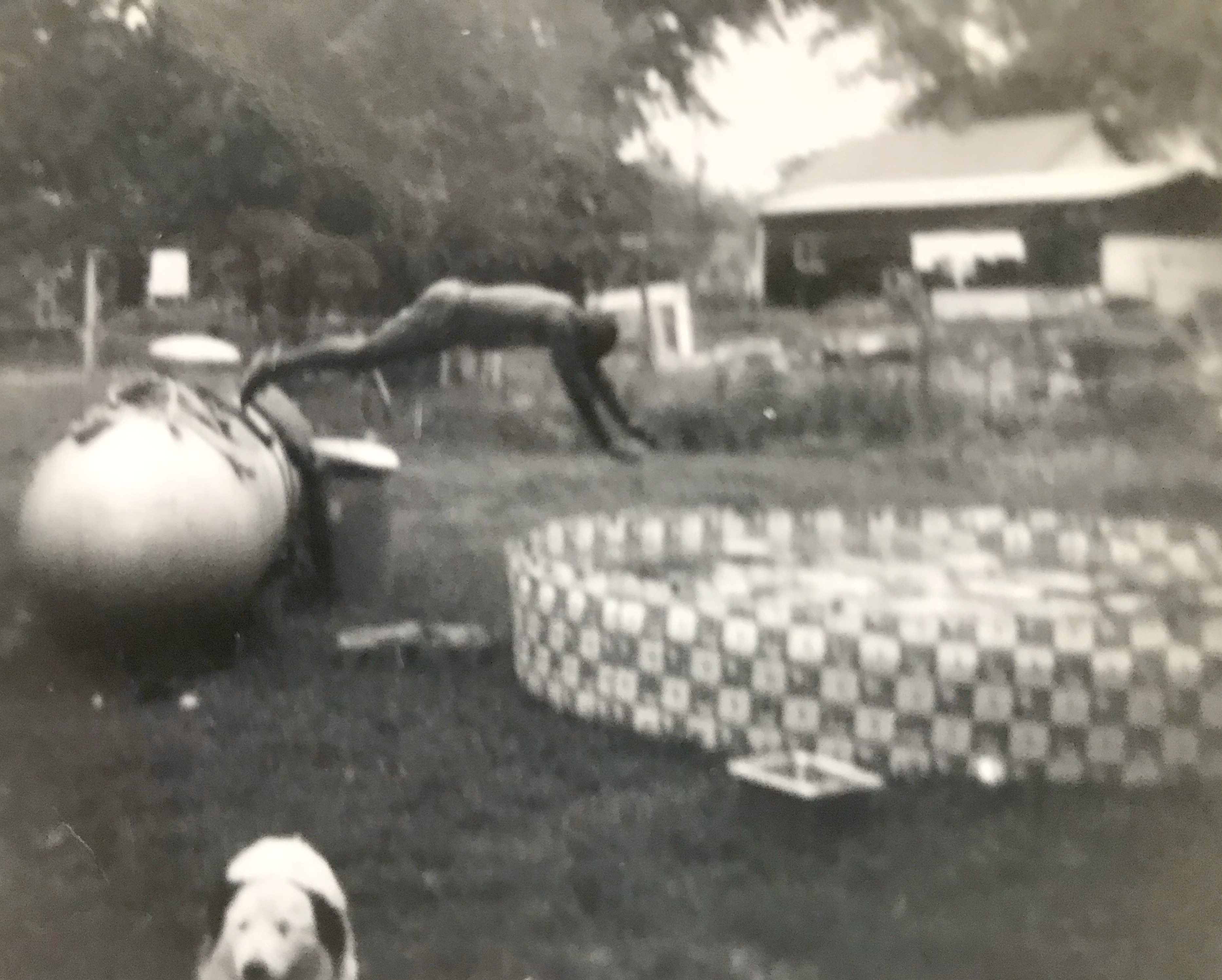
Dive
Backyard antics at the Douglas home

Backyard antics at the Douglas home

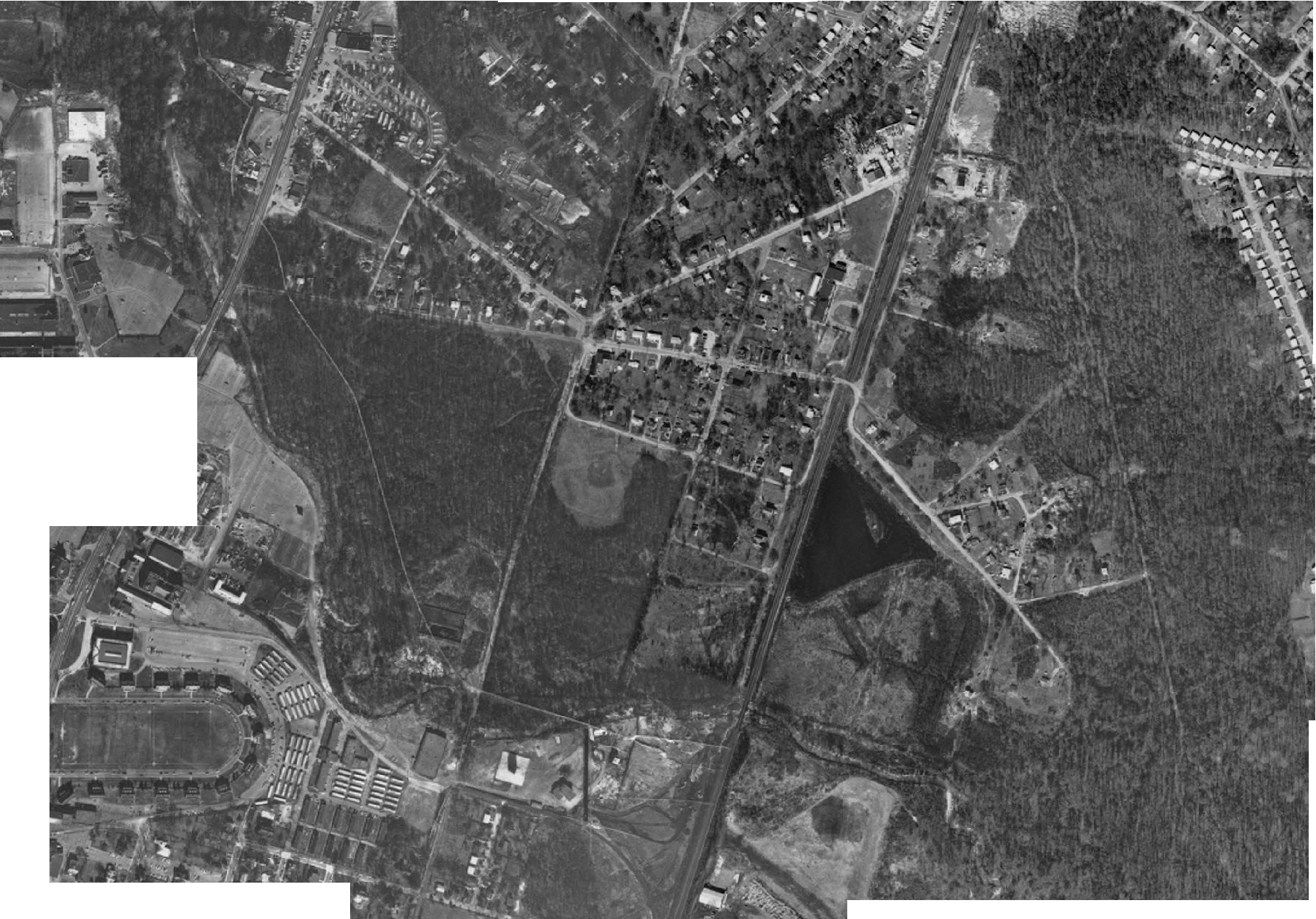
Aerial Image

Hangers and ponds are visible along with portion of Lakeland

Airport, industrial area, lake and portion of Lakeland

Airport and lakes along with a portion of Lakeland Property of US Army Air Services

Airport, College Park, the University of Maryland and part of Lakeland are seen. There is a clear view of the area along the railroad tracks. Property of US Army Air Services
Includes details of facilities on train line. Covers Lakeland, Berwyn, Branchville, and Daniel’s Park. Shown are indicators of a water tower near the lake and station signs between Cloud Avenue and Pierce Avenue. The map also lists acquisition information for railroad property. Lakeland is shown along with the location’s mileage designation, 1149+657 and is marked Lakeland Platforms, other notations include Berwyn Station, and Branchville Station.

U.S. One, Maine to Georgia Federal Writer’s HardPress Publishing Miami, FL Page 179 Project This book describes communities along US 1, a road which stretches the length of the east coast of the United States. The small section on the Lakeland Community is summarized here. Lakeland is described as a Negro suburb named for several man made lakes used to produce goldfish. The area’s developer, Edwin Newman built several homes and a hall to house fraternal groups. White residents built the community in 1890. By 1900 so many Negro residents had moved in that the few whites still In the community chose to leave. Lakeland’s population is noted as 300. By comparison College Park is noted as having a population of 316 and Berwyn an area which includes Greenbelt (officially the Berwyn Resettlement Project) has 1,000 inhabitants U.S. One, Maine to Florida by Federal Writer’s Project, HardPress Publishing, Miami, FL reprint from work sponsored by the U.S. 1 Highway Association, Published by Modern Age Books, New York.
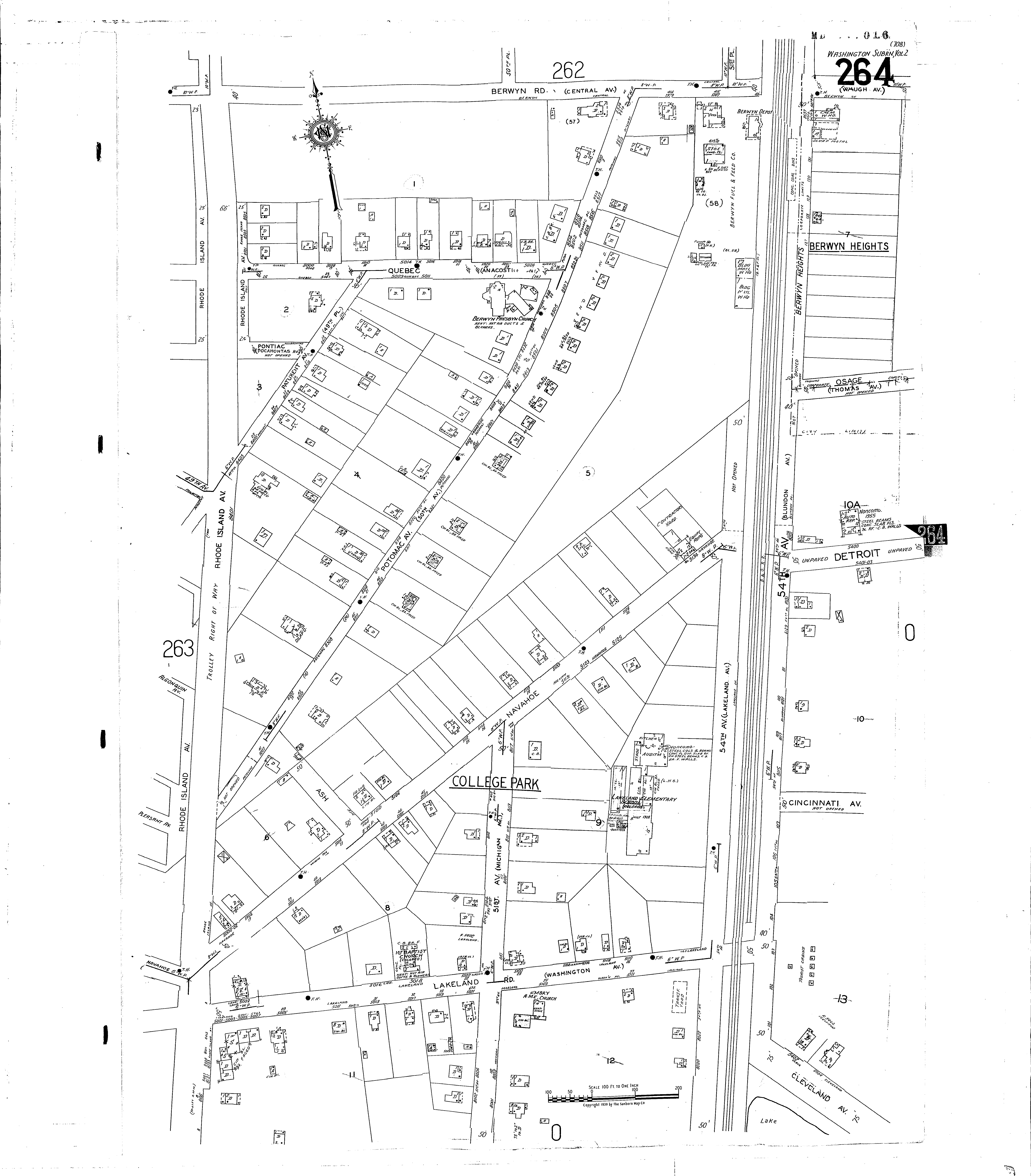
Suburban Map Company Volume Two, Prince George's County, Maryland Shows properties in Lakeland.
Washington Post January 27, 1924 PageSM5 Near Maryland Agricultural College is a fish breeding facility on Land leased by the government. It has been used to breed goldfish. Now 23 acres of the 75 acre tract is used for crappie, bluegill bream and large mouth bass. Fish from the facility are used to stock creeks and rivers in Maryland, Virginia, West Virginia, North Carolina, Delaware, New Jersey, Pennsylvania and New York. To test the conditions 23 acres were stocked and the results were very favorable. Experts are advocating for the new facility at Lakeland and say it would be a boost to the economy. US lags with other countries in their consumption of fish. The process used in raising the fish is similar to that used in producing chickens. The fish are transported using steel rail cars which carry 100 to 150 ten gallon containers holding 100 to 1,000 fish each.

Touched up image of Lakeland’s Hall formally located on Navahoe Street

Touched up image of Green Home, 54th Avenue

A collection of homes in the Lakeland Community prior to urban renewal
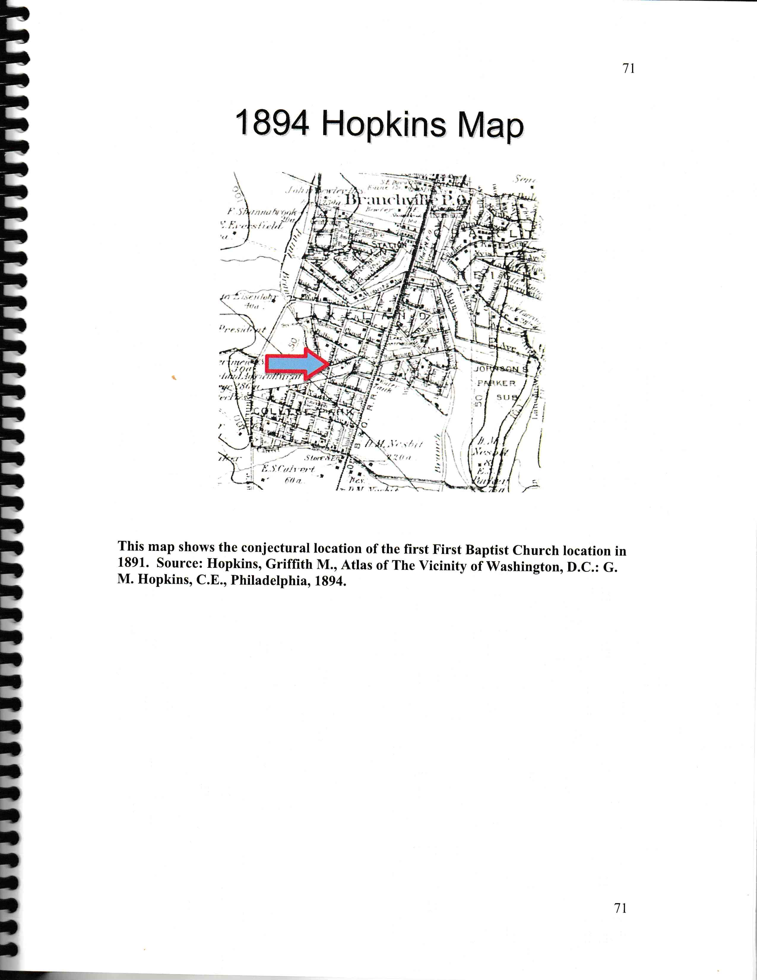
Conjunctural location of first location of First Baptist Church on Hopkins Atlas
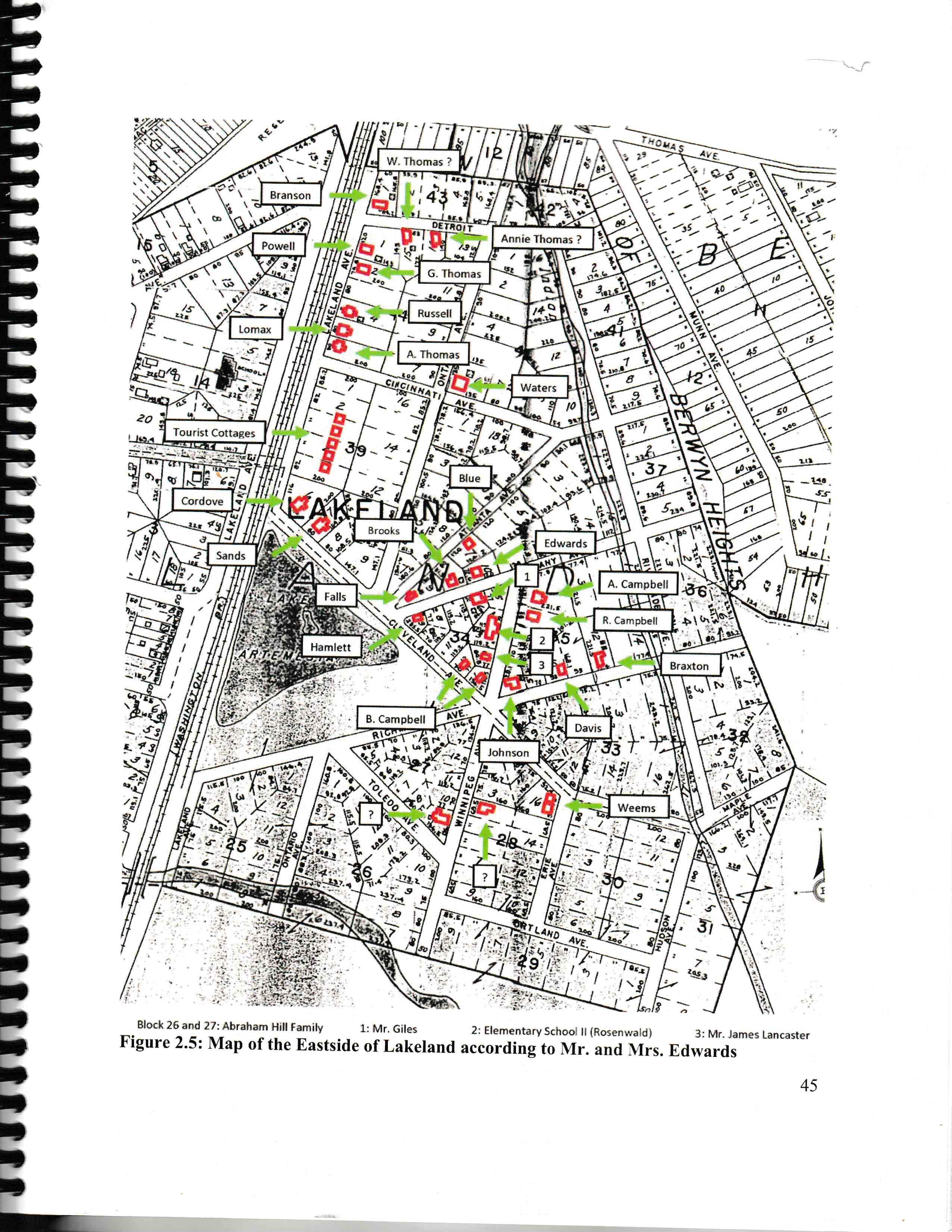
Map of residences in eastern section of Lakeland based on information from Pearl Lee and James Edwards III Page from eastern Lakeland report
Item held by Harry Braxton, Sr. The map is affixed to a wooden board and covered with varnish.
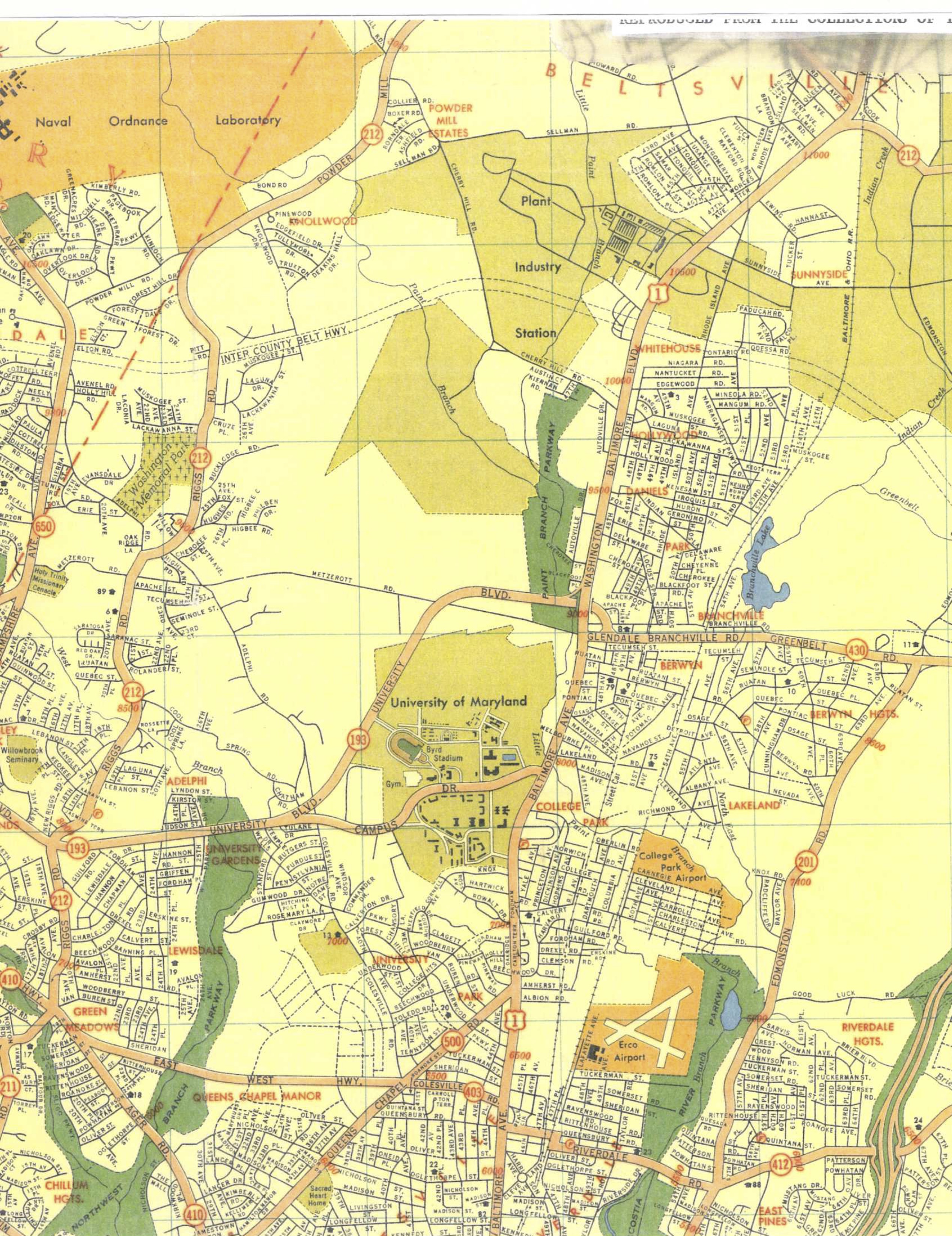
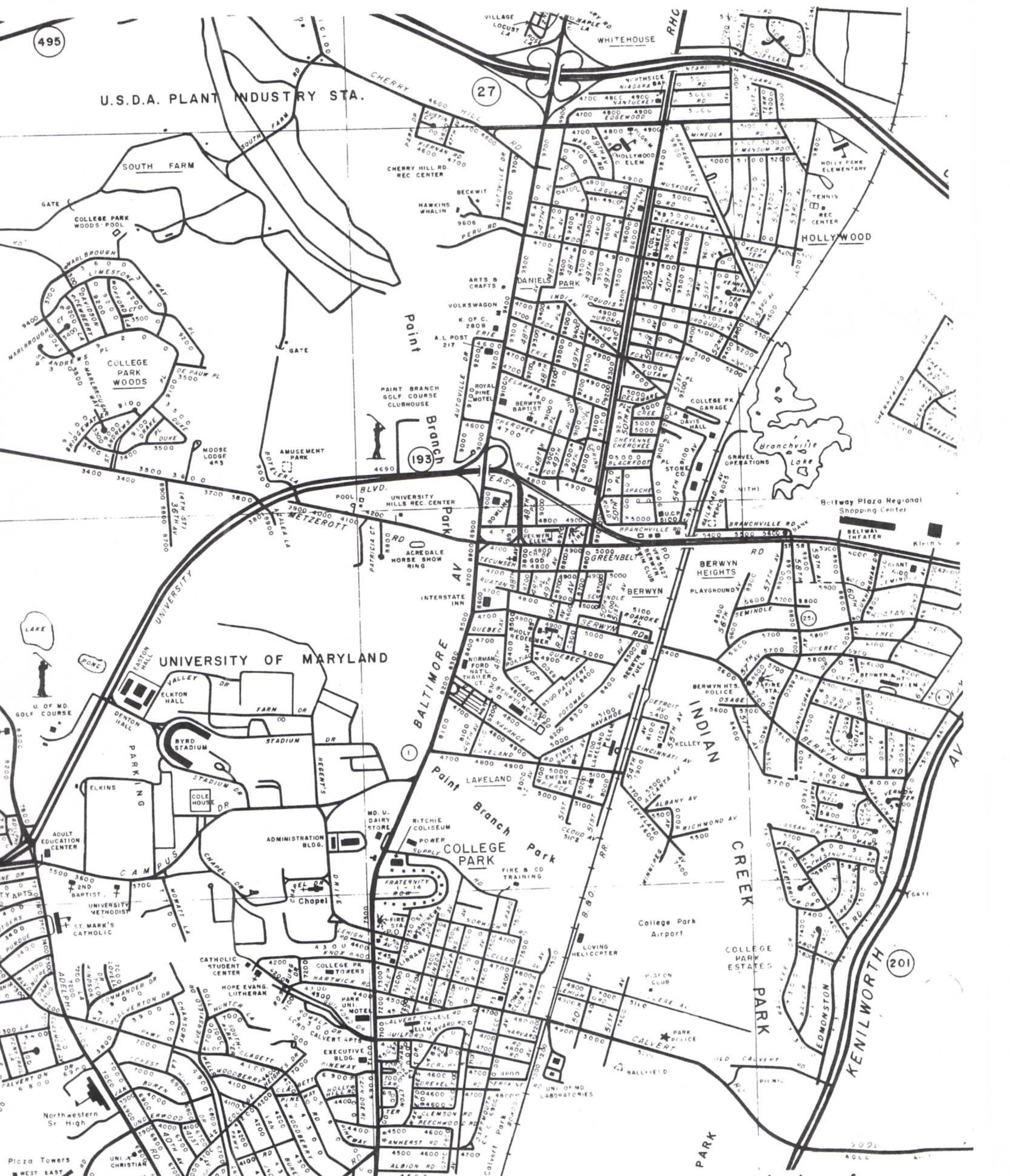
College Park and area
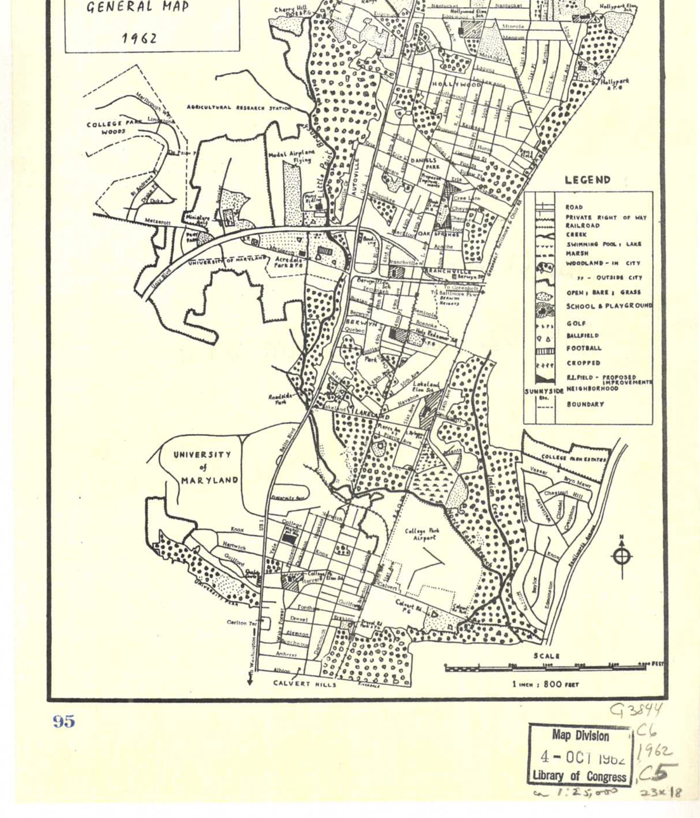

Map of DC Suburbia from Baltimore Ave to Rhode Island, 1939-1959
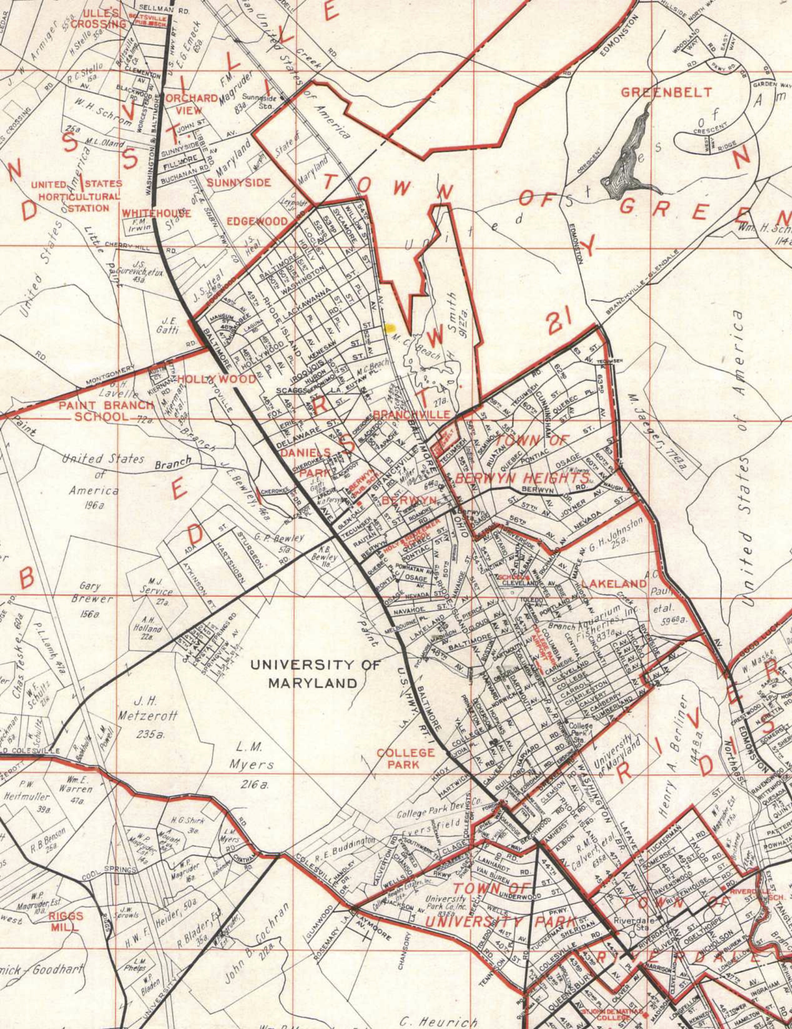

Eastern Lakeland